


Nusa Penida (Indonesian pronunciation: [nuˈsa pəˈnida]; Balinese: ᬦᬸᬲᬧᭂᬦᬶᬤ, romanized: nusa pĕnida) is an island located near the southeastern Indonesian island of Bali, which forms a district of the same name in Klungkung Regency. The Badung Strait separates the island and Bali. The interior of Nusa Penida is hilly with a maximum altitude of 524 metres, and the climate is drier than Bali. Like Bali, it is a major tourist destination.
In addition to Nusa Penida, the administrative district of Nusa Penida includes the nearby islands of Nusa Lembongan and Nusa Ceningan, plus eleven even smaller islands. The district had a population of 45,110 at the 2010 census, covering 202.84 km2 (78.32 sq mi), and the official estimate as of 2024 was 65,820.
SHORT - HISTORY
The history of the island of Nusa Penida in Bali began in the 10th century. The earliest writings about Nusa Penida have indeed been found on the Belanjong pillar, which dates back to 914 AD. This pillar contains an inscription that mentions the military expedition of the first Balinese King, Sri Kesari Warmadewa, to conquer Nusa Penida.
The people of Nusa Penida was long able to fight off Balinese kings who organized many military expeditions. However, in the second half of the 17th century, the island of Nusa Penida was conquered by the Gelgel Dynasty expedition. The last king of Nusa Penida, Dalem Bungkut, was killed in battle. Nusa Penida then became part of the Klungkung palace, one of the nine kingdoms in Bali. After the integration of Bali into the Dutch East Indies in 1908 which later became Indonesia, Nusa Penida remained attached to Klungkung Regency.
A Dutch map made in 1900 refers to Nusa Penida as Bandit Island because the Klungkung Kingdom once deported criminals, political opponents and black magic experts to Nusa Penida.
DIVE SITES
Nusa Penida covers a wide area of diving locations, including Penida Bay, Batu Lumbung (Manta Point), Batu Meling, Batu Abah, Toya Pakeh, and Malibu Point. The flow through the Lombok Strait is, overall, south-tending, although the strength and direction of the tidal streams are influenced by the monsoon seasons.
During the southeast monsoons, the tidal flow tends south; during the northeast monsoons, the tidal flow tends north. In the area of the strait north of Nusa Penida, the pattern is relatively simple, with a flow, at peak tide, of about three-and-one-half knots. Tidal streams in Badung Strait are semi-diurnal, but the character of the stream is very complicated because its direction runs obliquely to the general south-to-north direction of Lombok Strait, and the channel has a curved shape.
Based on a survey in 2009, there were about 1,419 hectares of coral sites with 66 percent covering the sites in 3 metres depth and 74 percent covered the sites in 10 metres depth.
In December 2024, a colony of Galaxea astreata, one of the largest coral colonies in the world, was discovered, covering an area of approximately 4000 m2 with dimensions 34 m (width), 32 m (length) and 5.5 m (height).
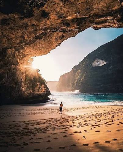
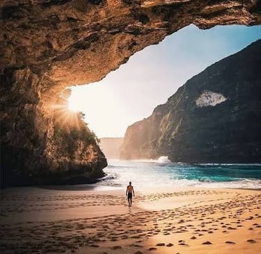
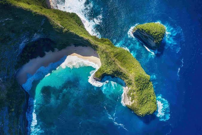
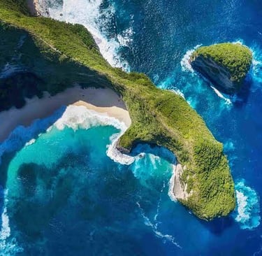
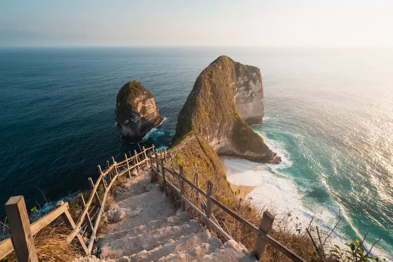
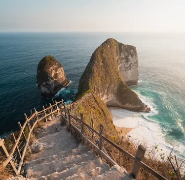
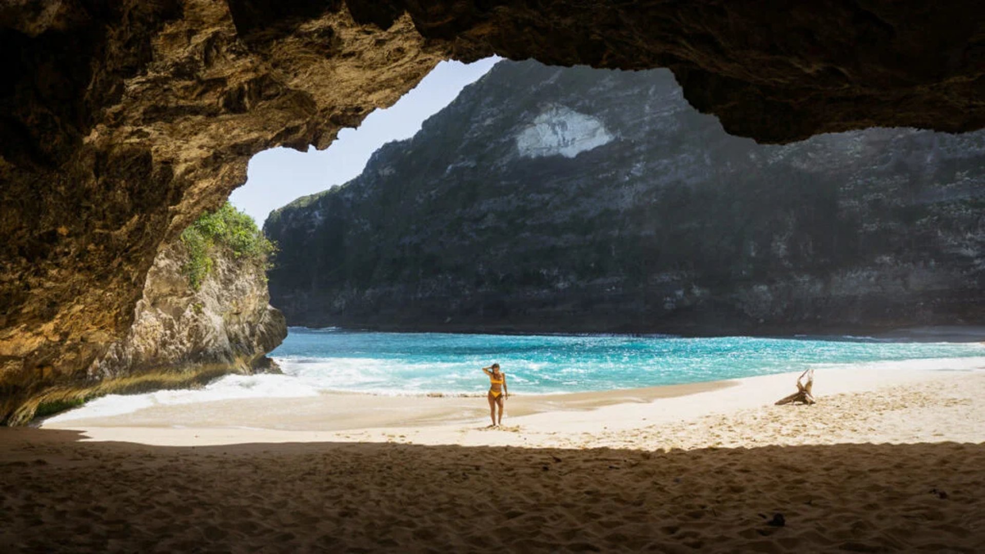
KELINGKING BEACH
POPULAR DESTINATION
Bromo Midnight Tour
Bromo 3D2N
Tumpak Sewu Waterfall Tour
Madakaripura Tour

CONTACT INFORMATION
Call +62 822 2079 9618
E-mail bromosunset79@gmail.com
Office Jl. Kedung Klinter VI No.5, Surabaya, Jawa Timur 60172, Indonesia
WHY TRAVELL WITH US?
✓ Local Expert Guides
✓ Private & Custom Tours
✓ Flexible Itineraries
✓ Secure Booking Process
✓ 24/7 Customer Supp